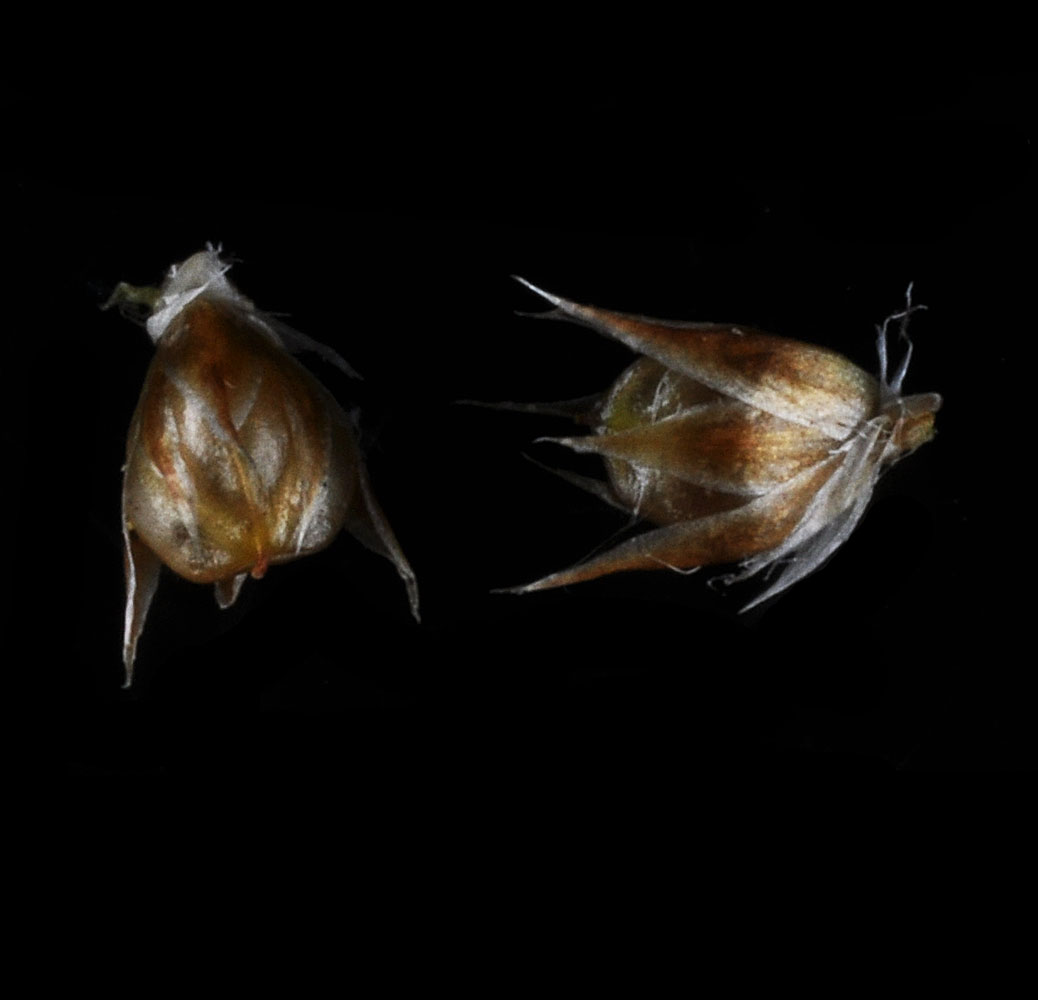
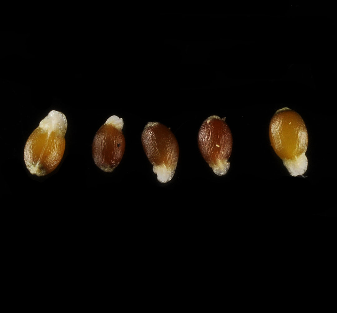
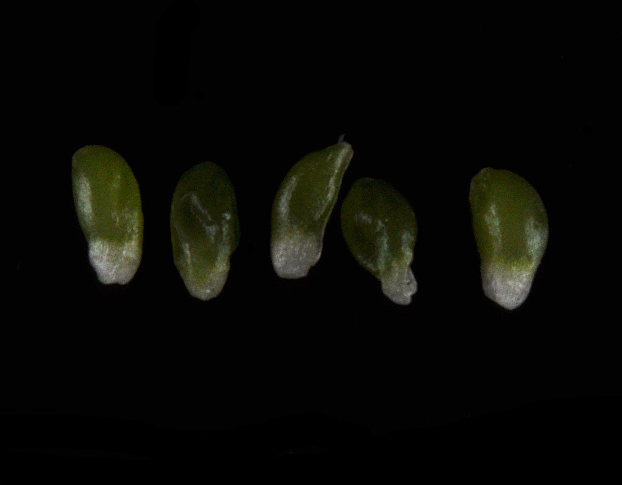
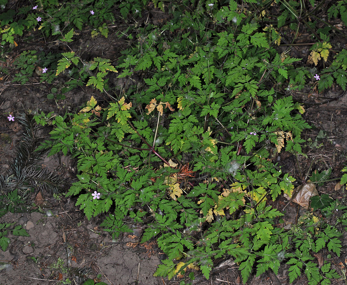
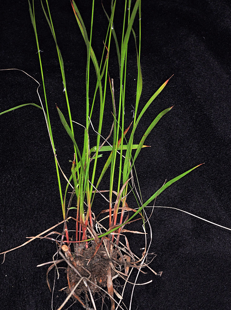
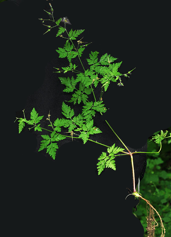
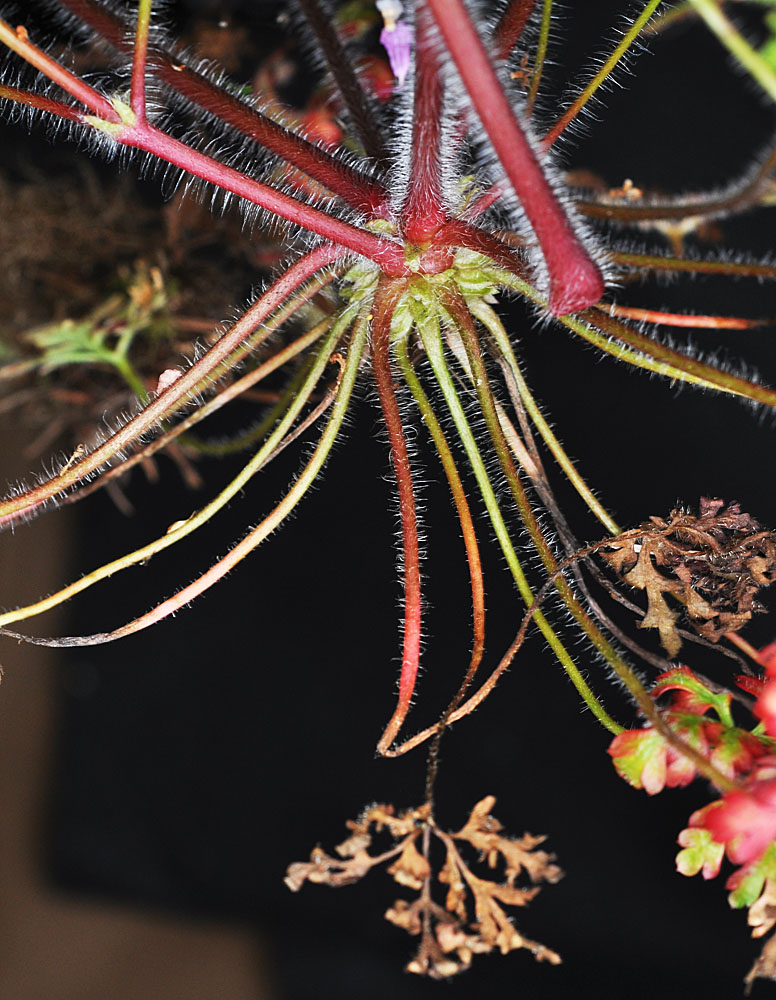
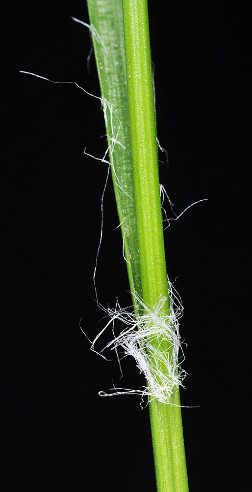
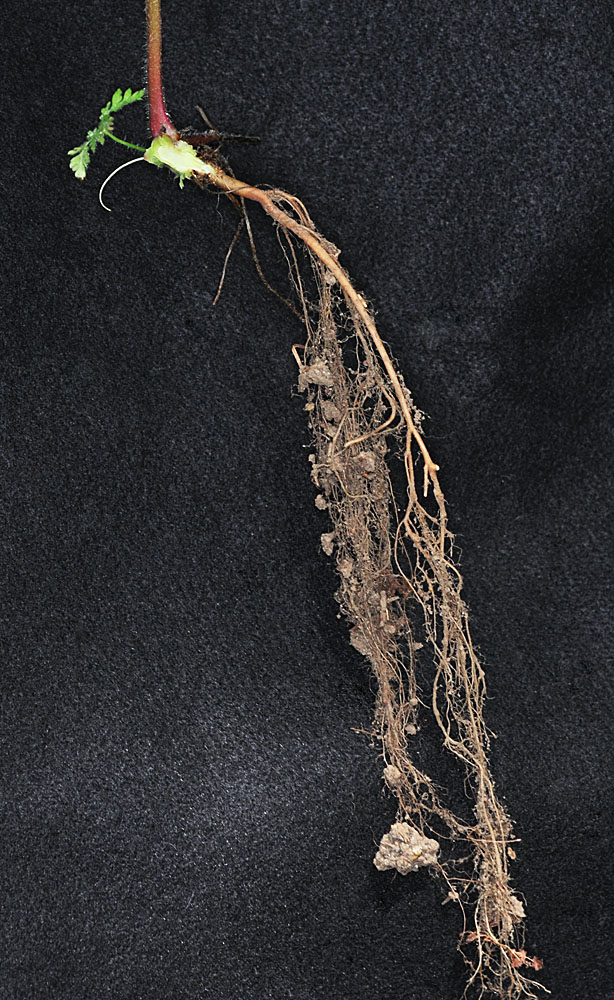
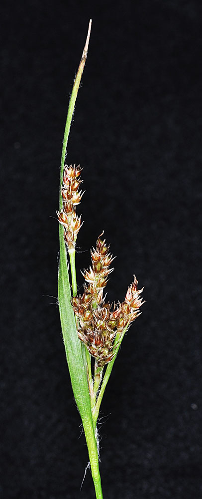
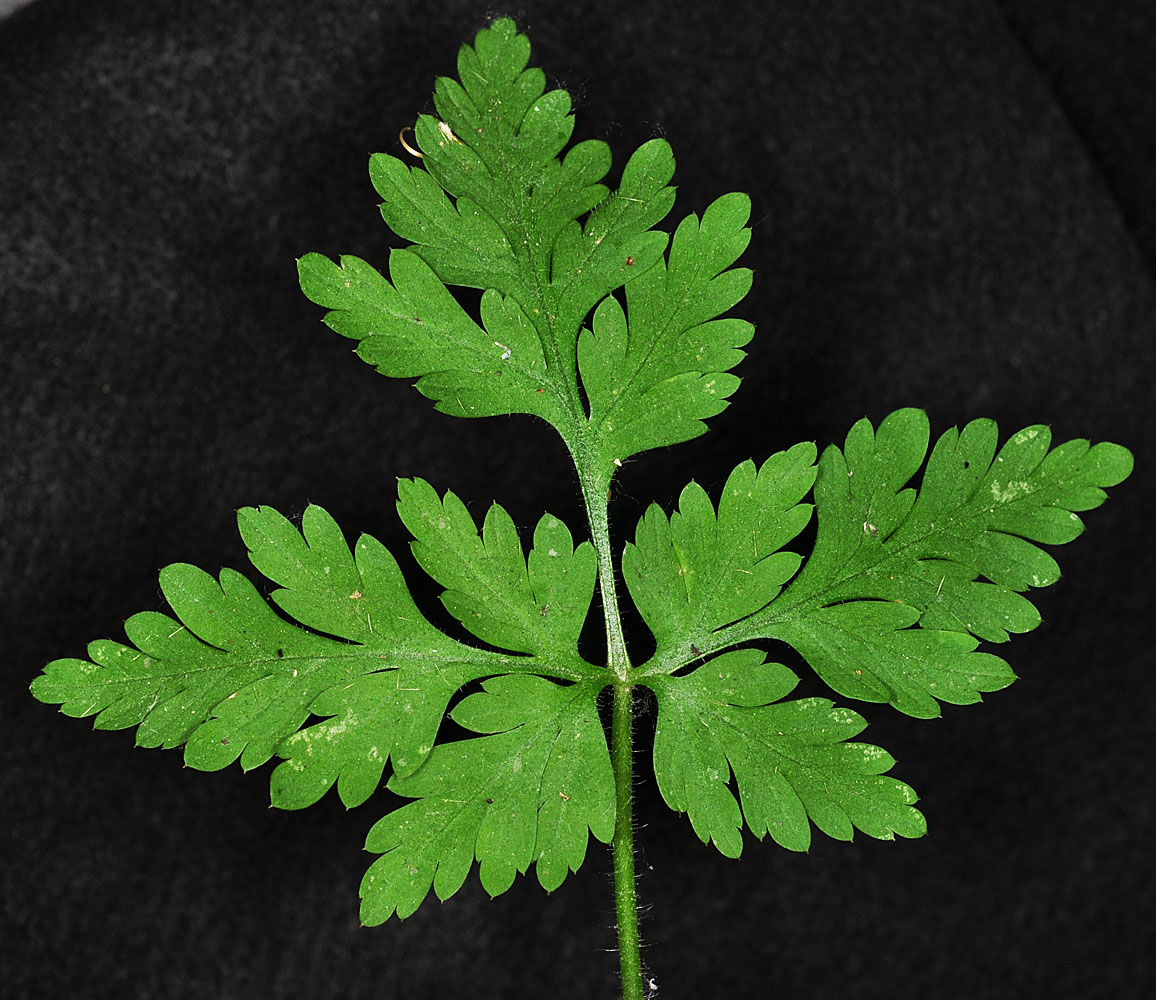
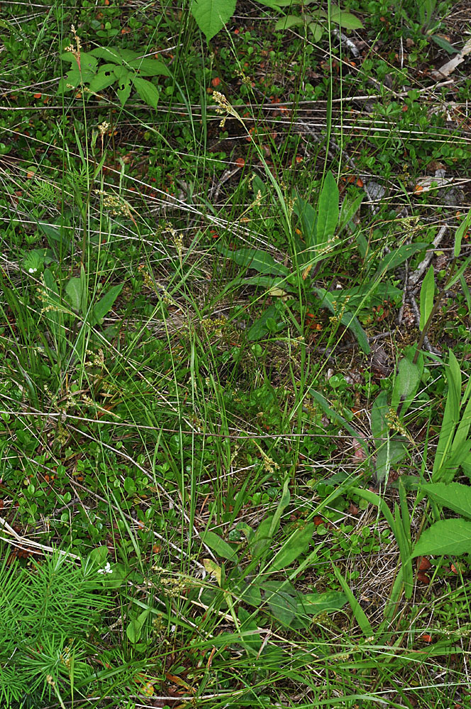
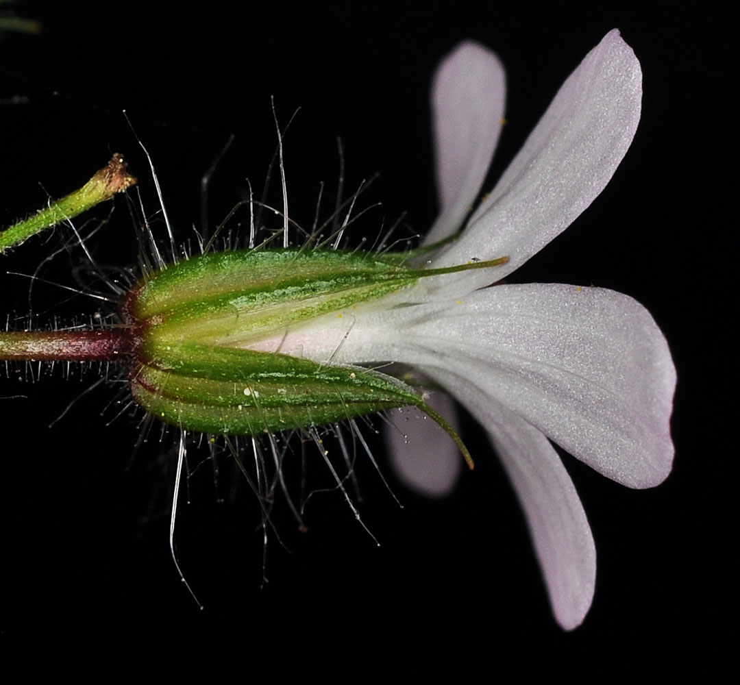
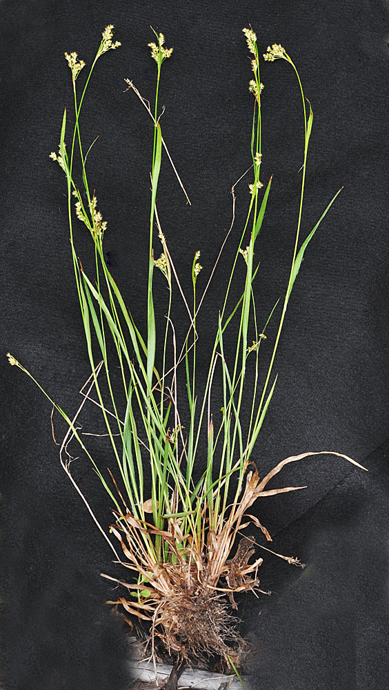
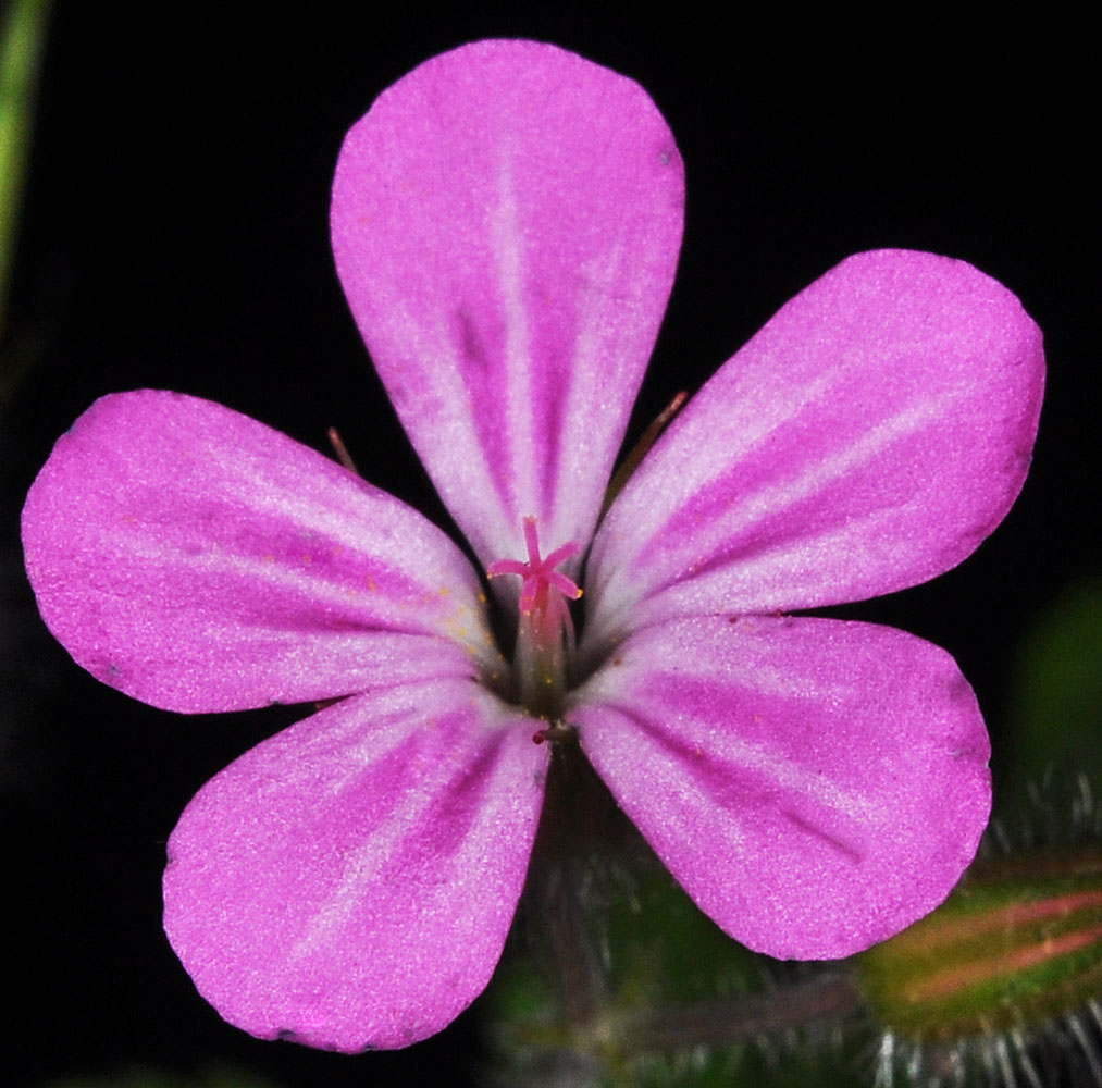
13 mi W of Kettle Falls, WA along Sherman Creek; N 48.57757 W 118.29358; Ferry Co.; 7/16/201213 mi W of Kettle Falls, WA along Sherman Creek; N 48.57757 W 118.29358; Ferry Co.; 7/16/201213 mi W of Kettle Falls, WA along Sherman Creek; N 48.57757 W 118.29358; Ferry Co.; 7/16/201213 mi W of Kettle Falls, WA along Sherman Creek; N 48.57757 W 118.29358; Ferry Co.; 7/16/201213 mi W of Kettle Falls, WA along Sherman Creek; N 48.57757 W 118.29358; Ferry Co.; 7/16/201213 mi W of Kettle Falls, WA along Sherman Creek; N 48.57757 W 118.29358; Ferry Co.; 7/16/201213 mi W of Kettle Falls, WA along Sherman Creek; N 48.57757 W 118.29358; Ferry Co.; 7/16/201213 mi W of Kettle Falls, WA along Sherman Creek; N 48.57757 W 118.29358; Ferry Co.; 7/16/201213 mi W of Kettle Falls, WA along Sherman Creek; N 48.57757 W 118.29358; Ferry Co.; 7/16/201213 mi W of Kettle Falls, WA along Sherman Creek; N 48.57757 W 118.29358; Ferry Co.; 7/16/2012Along Big Creek rd ca. 200 yds N of its jct with Old River rd, ca. 3.3 air mi NE of Harvard, ID; N 46.95470 W 116.68575; Latah Co.; 6/1/2014Along Big Creek rd ca. 200 yds N of its jct with Old River rd, ca. 3.3 air mi NE of Harvard, ID; N 46.95470 W 116.68575; Latah Co.; 6/1/2014Along Big Creek rd ca. 200 yds N of its jct with Old River rd, ca. 3.3 air mi NE of Harvard, ID; N 46.95470 W 116.68575; Latah Co.; 6/1/2014Along Big Creek rd ca. 200 yds N of its jct with Old River rd, ca. 3.3 air mi NE of Harvard, ID; N 46.95470 W 116.68575; Latah Co.; 6/1/2014Along Big Creek rd ca. 200 yds N of its jct with Old River rd, ca. 3.3 air mi NE of Harvard, ID; N 46.95470 W 116.68575; Latah Co.; 6/1/2014Along Sherman Creek ca. 13 mi W of Kettle Falls, WA (along Hwy 20); N 48.57745 W 118.28328; Ferry Co.; 5/31/2015Along Sherman Creek ca. 13 mi W of Kettle Falls, WA (along Hwy 20); N 48.57745 W 118.28328; Ferry Co.; 5/31/2015Along Sherman Creek ca. 13 mi W of Kettle Falls, WA (along Hwy 20); N 48.57745 W 118.28328; Ferry Co.; 5/31/2015Along Sherman Creek ca. 13 mi W of Kettle Falls, WA (along Hwy 20); N 48.57745 W 118.28328; Ferry Co.; 5/31/2015Along Sherman Creek ca. 13 mi W of Kettle Falls, WA (along Hwy 20); N 48.57745 W 118.28328; Ferry Co.; 5/31/2015Along spur rd off of Graves Mt Rd ca. 1.36 air mi W of Graves Mt. peak; N 48.63521 W 118.38907; Ferry Co.; 6/25/2018Along spur rd off of Graves Mt Rd ca. 1.36 air mi W of Graves Mt. peak; N 48.63521 W 118.38907; Ferry Co.; 6/25/2018Along spur rd off of Graves Mt Rd ca. 1.36 air mi W of Graves Mt. peak; N 48.63521 W 118.38907; Ferry Co.; 6/25/2018Along spur rd off of Graves Mt Rd ca. 1.36 air mi W of Graves Mt. peak; N 48.63521 W 118.38907; Ferry Co.; 6/25/2018