| Scientific Name | Dichanthelium oligosanthes (Schult.) Gould ssp. scribnerianum (Nash) Freckmann & Lelong |
| Family | Poaceae |
| Common Names | Scribner’s panicgrass or witchgrass |
| Eastern Washington | Native |
| Conservation Status | |
| Notes |
Click on any image to enlarge it.

Along Hwy 12, 1.36 mi NE of jct with Hwy 3 along Clearwater River; ca. 9.8 air mi W of Lenore, ID; N 46.48031 W 116.75309; Nez Perce Co.; 6/11/2015 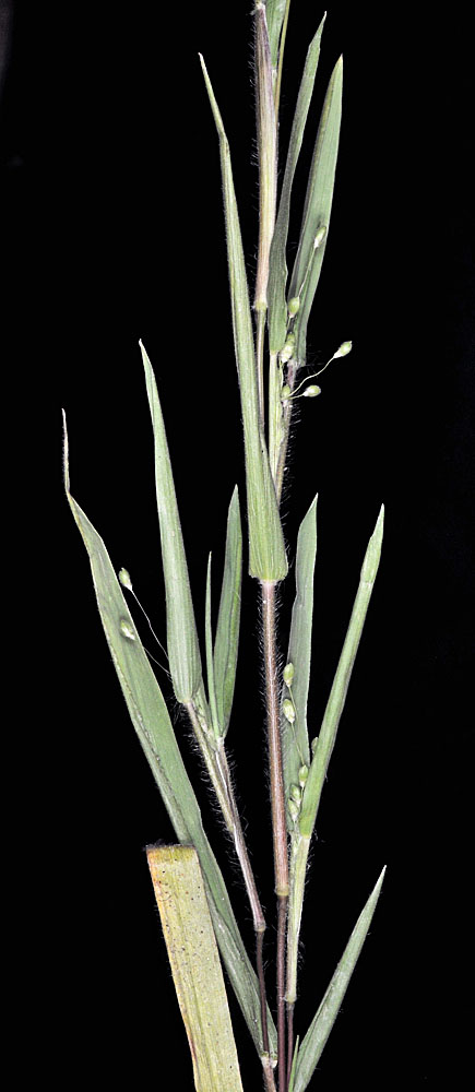
Along Hwy 12, 1.36 mi NE of jct with Hwy 3 along Clearwater River; ca. 9.8 air mi W of Lenore, ID; N 46.48031 W 116.75309; Nez Perce Co.; 6/11/2015 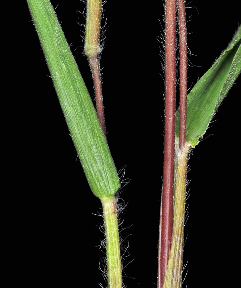
Along Hwy 12, 1.36 mi NE of jct with Hwy 3 along Clearwater River; ca. 9.8 air mi W of Lenore, ID; N 46.48031 W 116.75309; Nez Perce Co.; 6/11/2015 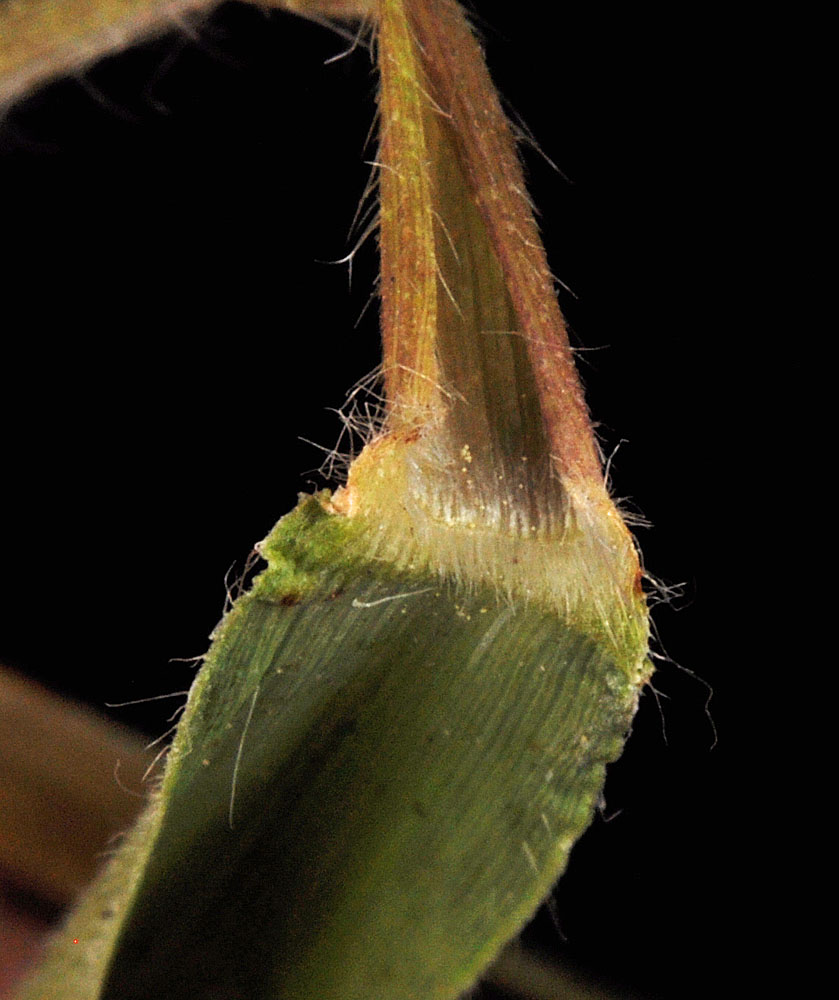
Along Hwy 12, 1.36 mi NE of jct with Hwy 3 along Clearwater River; ca. 9.8 air mi W of Lenore, ID; N 46.48031 W 116.75309; Nez Perce Co.; 6/11/2015 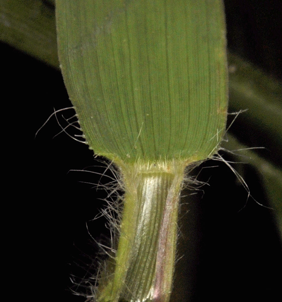
Along Hwy 12, 1.36 mi NE of jct with Hwy 3 along Clearwater River; ca. 9.8 air mi W of Lenore, ID; N 46.48031 W 116.75309; Nez Perce Co.; 6/11/2015 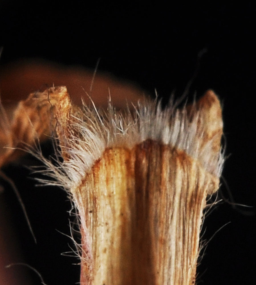
Along Hwy 12, 1.36 mi NE of jct with Hwy 3 along Clearwater River; ca. 9.8 air mi W of Lenore, ID; N 46.48031 W 116.75309; Nez Perce Co.; 6/11/2015 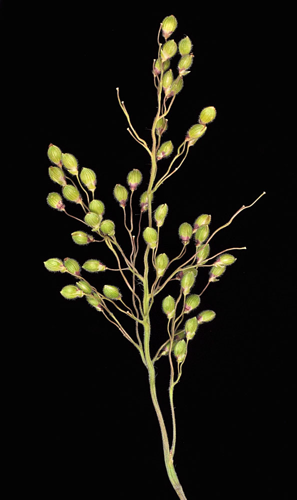
Along Hwy 12, 1.36 mi NE of jct with Hwy 3 along Clearwater River; ca. 9.8 air mi W of Lenore, ID; N 46.48031 W 116.75309; Nez Perce Co.; 6/11/2015 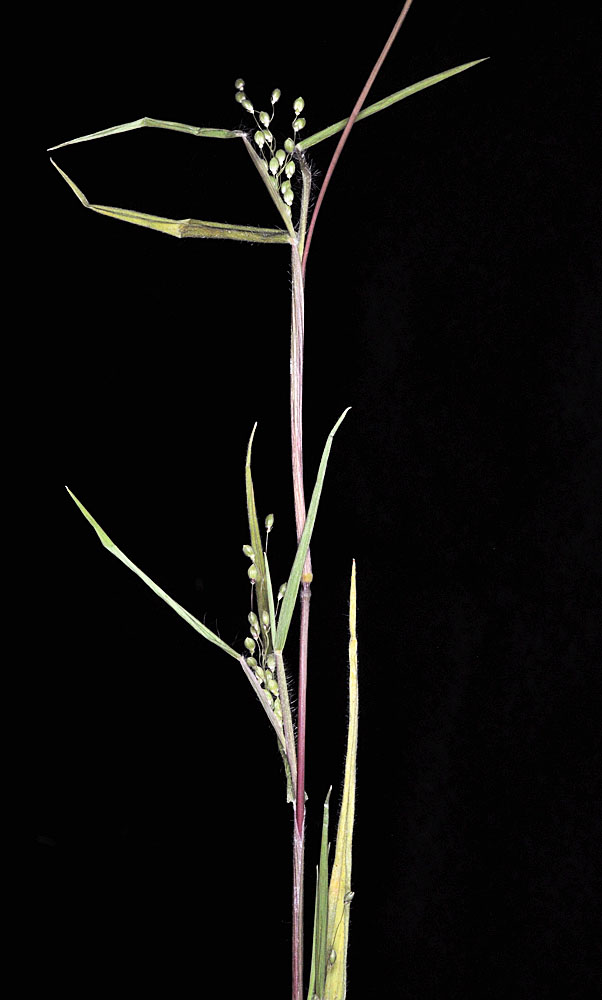
Along Hwy 12, 1.36 mi NE of jct with Hwy 3 along Clearwater River; ca. 9.8 air mi W of Lenore, ID; N 46.48031 W 116.75309; Nez Perce Co.; 6/11/2015 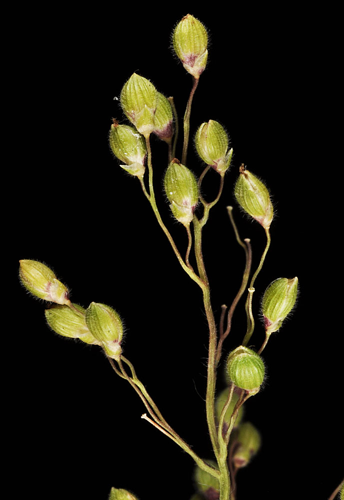
Along Hwy 12, 1.36 mi NE of jct with Hwy 3 along Clearwater River; ca. 9.8 air mi W of Lenore, ID; N 46.48031 W 116.75309; Nez Perce Co.; 6/11/2015 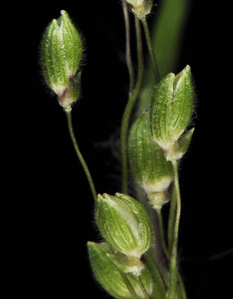
Along Hwy 12, 1.36 mi NE of jct with Hwy 3 along Clearwater River; ca. 9.8 air mi W of Lenore, ID; N 46.48031 W 116.75309; Nez Perce Co.; 6/11/2015 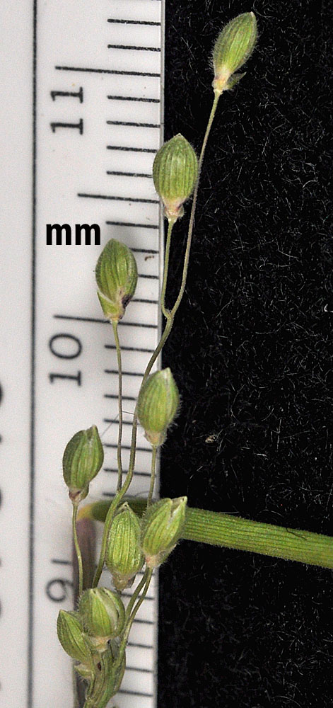
Along Hwy 12, 1.36 mi NE of jct with Hwy 3 along Clearwater River; ca. 9.8 air mi W of Lenore, ID; N 46.48031 W 116.75309; Nez Perce Co.; 6/11/2015 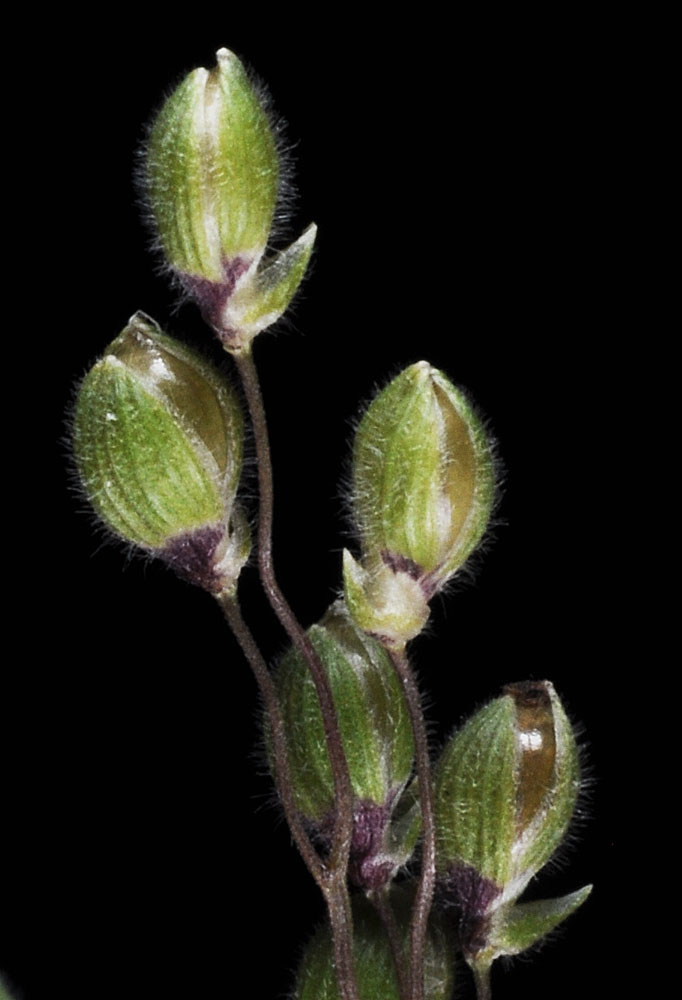
Along Hwy 12, 1.36 mi NE of jct with Hwy 3 along Clearwater River; ca. 9.8 air mi W of Lenore, ID; N 46.48031 W 116.75309; Nez Perce Co.; 6/11/2015 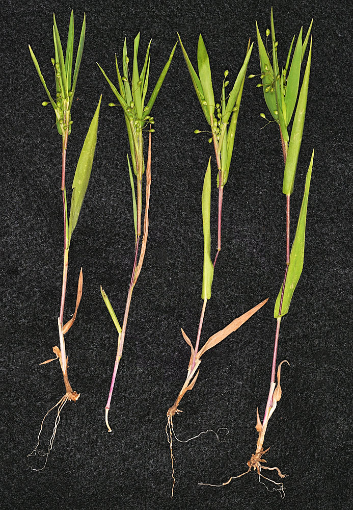
Along Natural Area trail N of the Little Spokane R; 0.45 air mi ESE of the jct of Hwy 291 and N River Park Ln; 1.39 air mi E of Nine Mile Falls, WA; N 47.77989 W 117.52170; Spokane Co.; 6/21/2017 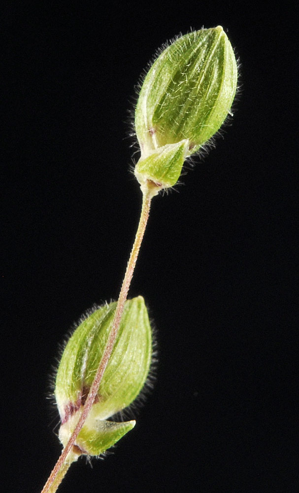
Along Hwy 12, 1.36 mi NE of jct with Hwy 3 along Clearwater River; ca. 9.8 air mi W of Lenore, ID; N 46.48031 W 116.75309; Nez Perce Co.; 6/11/2015 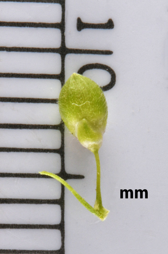
Along Natural Area trail N of the Little Spokane R; 0.45 air mi ESE of the jct of Hwy 291 and N River Park Ln; 1.39 air mi E of Nine Mile Falls, WA; N 47.77989 W 117.52170; Spokane Co.; 6/21/2017 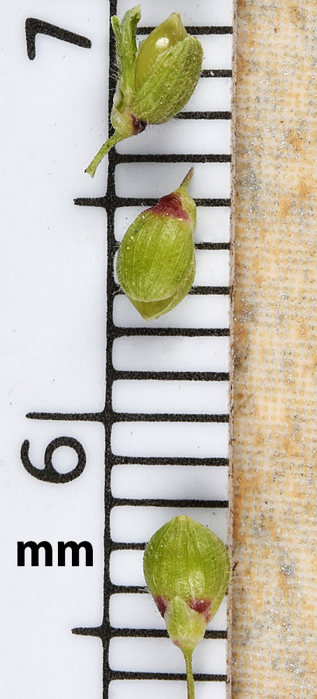
Along Natural Area trail N of the Little Spokane R; 0.45 air mi ESE of the jct of Hwy 291 and N River Park Ln; 1.39 air mi E of Nine Mile Falls, WA; N 47.77989 W 117.52170; Spokane Co.; 6/21/2017 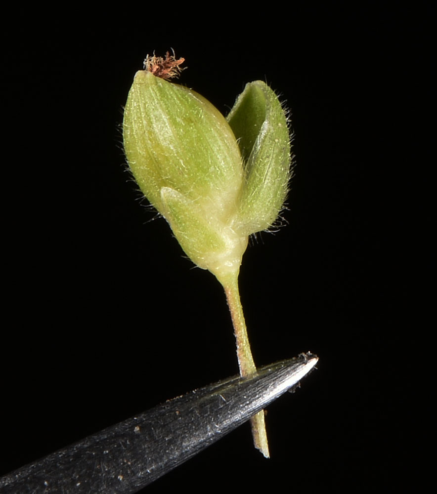
Along Natural Area trail N of the Little Spokane R; 0.45 air mi ESE of the jct of Hwy 291 and N River Park Ln; 1.39 air mi E of Nine Mile Falls, WA; N 47.77989 W 117.52170; Spokane Co.; 6/21/2017 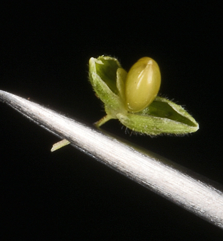
Along Natural Area trail N of the Little Spokane R; 0.45 air mi ESE of the jct of Hwy 291 and N River Park Ln; 1.39 air mi E of Nine Mile Falls, WA; N 47.77989 W 117.52170; Spokane Co.; 6/21/2017

