| Scientific Name | Cyperus squarrosus L. |
| Family | Cyperaceae |
| Common Names | awned flatsedge |
| Eastern Washington | Native |
| Conservation Status | |
| Notes |
Click on any image to enlarge it.

Along Sand Dunes Rd. ca. 1.75 mi. S of S. Frontage Rd. E.; S of w. edge of Moses Lake, WA; N 47.07195 W 119.34223; Grant Co.; 8/17/2012 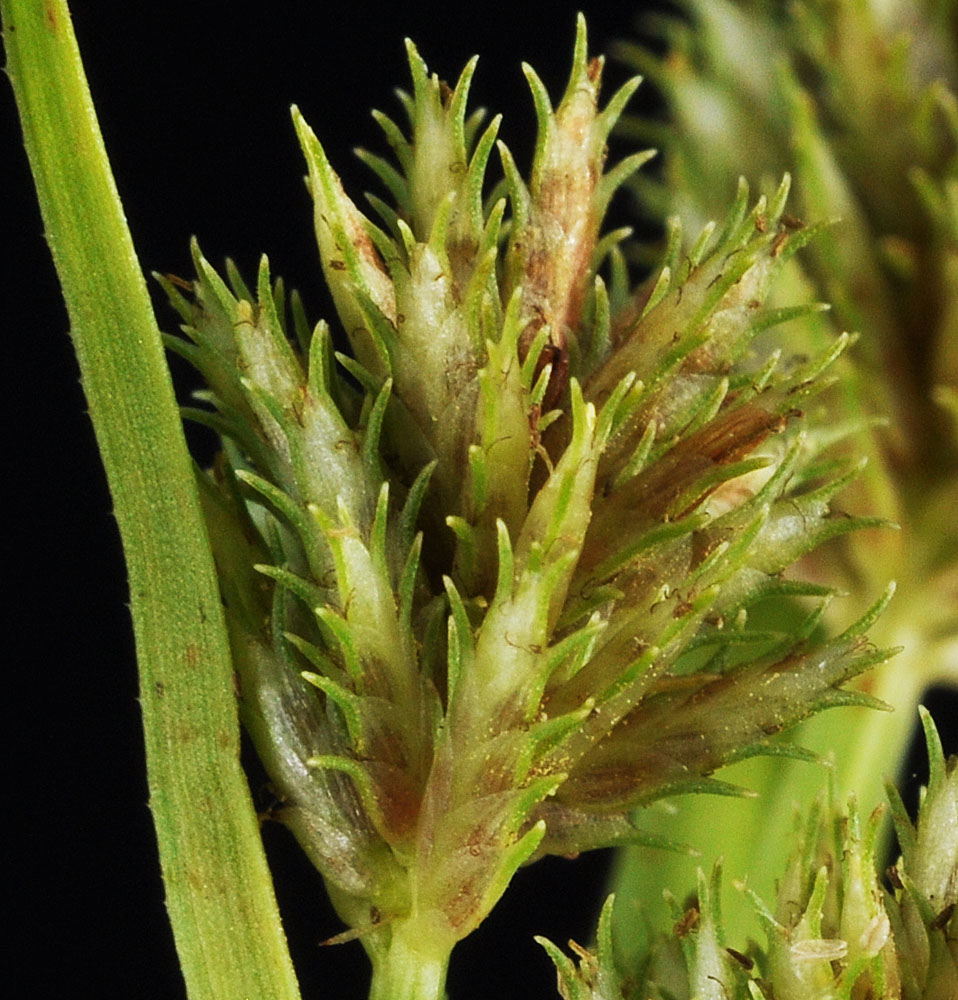
Along Sand Dunes Rd. ca. 1.75 mi. S of S. Frontage Rd. E.; S of w. edge of Moses Lake, WA; N 47.07195 W 119.34223; Grant Co.; 8/17/2012 
Along Sand Dunes Rd. ca. 1.75 mi. S of S. Frontage Rd. E.; S of w. edge of Moses Lake, WA; N 47.07195 W 119.34223; Grant Co.; 8/17/2012 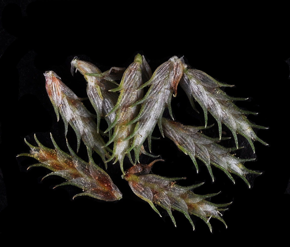
Along Sand Dunes Rd. ca. 1.75 mi. S of S. Frontage Rd. E.; S of w. edge of Moses Lake, WA; N 47.07195 W 119.34223; Grant Co.; 8/17/2012 
Along Sand Dunes Rd. ca. 1.75 mi. S of S. Frontage Rd. E.; S of w. edge of Moses Lake, WA; N 47.07195 W 119.34223; Grant Co.; 8/17/2012 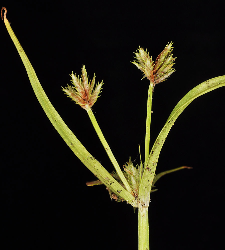
Along the Klickitat R. ca. 0.75 N of Hwy 14 NE of Lyle, WA at County Park; N 45.70392 W 121.28047; Klickitat Co.; 8/15/2014 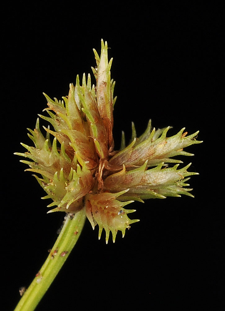
Along the Klickitat R. ca. 0.75 N of Hwy 14 NE of Lyle, WA at County Park; N 45.70392 W 121.28047; Klickitat Co.; 8/15/2014 
Along the Klickitat R. ca. 0.75 N of Hwy 14 NE of Lyle, WA at County Park; N 45.70392 W 121.28047; Klickitat Co.; 8/15/2014 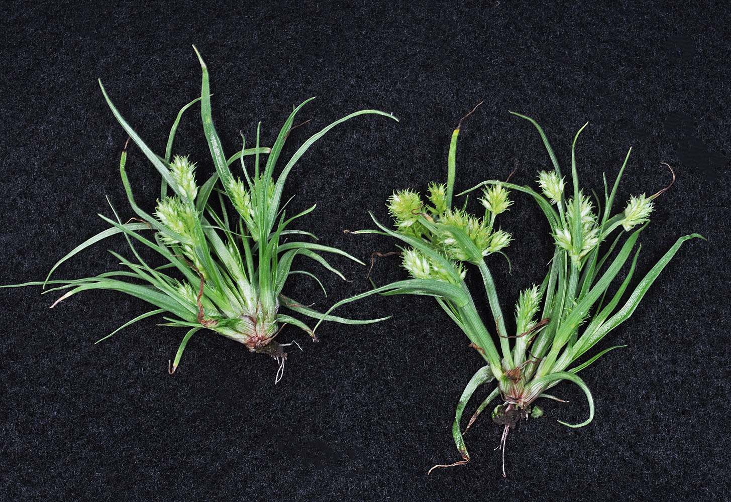
Ca. 12.5 air mi S of Creston, WA; ca.3.5 mi SW of Swanson Lks on 7 dairies rd; ca. 0.3 mi N of rd.; N 47.57990 W 118.49454; Lincoln Co., 6/9/2016 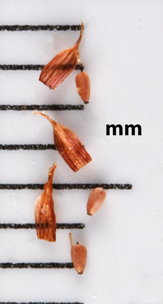
Just N of the boat ramp along the Columbia R. at Ringold, WA; N 46.50599 W 119.26157; Franklin Co., 9/20/2016 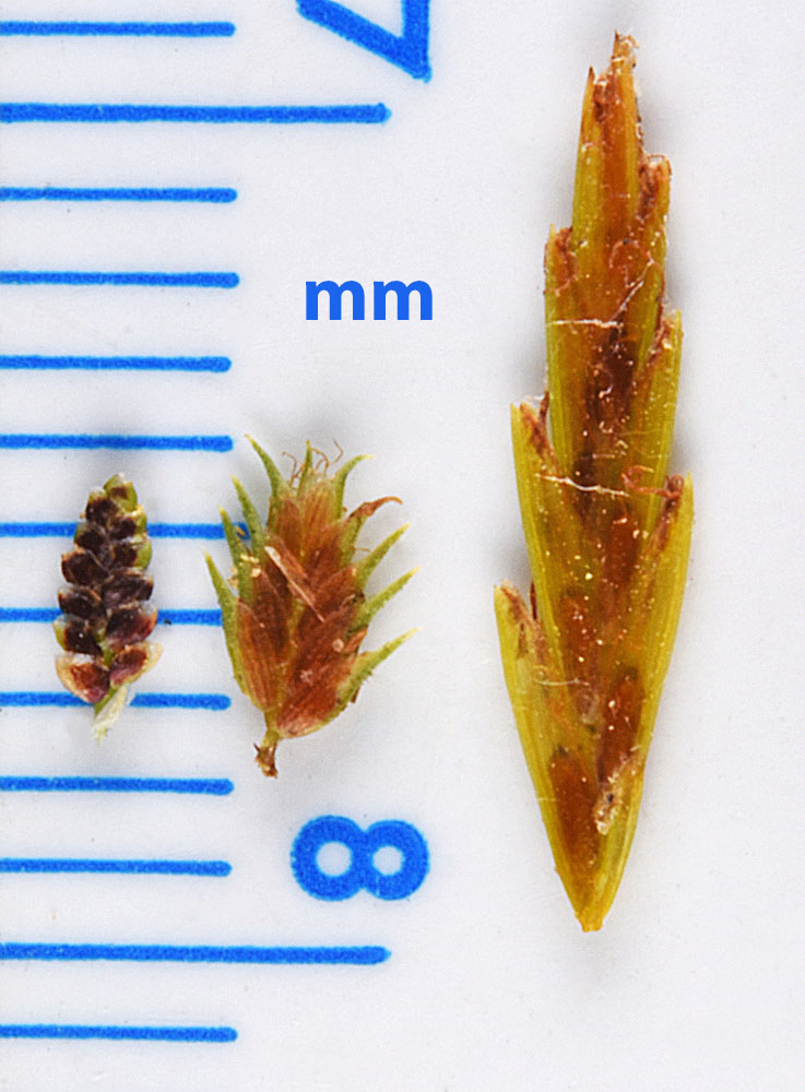
Cyperus spikelet comparison: C. difformis on the left, C. squarrosus in the middle and C. strigosus on the right.

