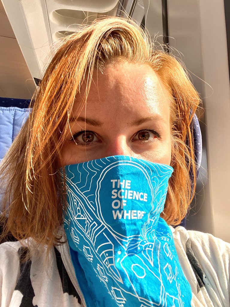
COVID-19 has had a profound impact across the globe and presented the difficult challenge of effectively communicating data about the spread of the virus in an efficient and accurate manner. Amanda Reich, an EWU graduate student working with the U.S. Army Europe (USAREUR), faced the additional hurdle of acquiring data from across international boundaries in order to best inform decision makers.
To address the need, Reich utilized her thesis project to help create a real-world solution to automate the workflow of collecting, processing and publishing COVID-19 figures for 10 countries. The result generated geospatial datasets into a comprehensive display for military commanders and key staff, as well as provided situational awareness for service members, civilians and contractors throughout Europe.
Reich completed her BA in anthropology at Eastern in 2013 with minors in military science and German. Now living a long way from her hometown of Spokane, she is completing her Master of Computer Science in Germany.
When Reich moved to Germany last February, she also transitioned from active military duty to inactive status in the reserve to focus on her position with the Department of the Army as a civilian, where she works as a geographic information systems (GIS) administrator.
“I was responsible for managing data published to our GIS portal, which is a repository of data that we share with partner organizations, including other military units and NATO allies,” Reich says.
In her position, Reich made it easier for customers to process data by creating web maps and apps. But once pandemic lockdowns started, her duties shifted to tracking COVID-19 data.
“I worked on the automation by identifying valid sources that I could access through scripts and writing the process to integrate the data from multiple countries into our dataset,” explains Reich. “Then I publish the data to our online portal to make it available to place into an operations dashboard to present to leadership.”

Reich earned the prominent position as a GIS administrator thanks to the certificate program at EWU. She credits the program with giving her the foundations in geographic data and online GIS tools needed to secure internships. Before moving to Germany, Reich interned at TerraSim, Inc in Pittsburgh building maps for military training simulations and at Esri, the primary software company building the GIS tools used around the world by multiple industries.
“The combination of the education at EWU and the internships that were part of both my GIS and computer science programs led me to being most qualified for the GIS administrator role here in Germany,” says Reich, and adds that the skills she learned at Eastern helped her increase the efficiency in the tracking process.
“When I joined the team working on this, I first prioritized finding sources that were reliable and automating the data collection because we initially had about 10-15 soldiers manually collecting data from a wide variety of sources.”
Reich says she is looking forward to finishing her degree this quarter and continuing to use her GIS knowledge in whatever industry she goes into next. And no matter where in the world she ends up, she’ll always remember where she started.
“I wouldn’t be where I am today, in Germany with the U.S. Army developing geospatial tools, without the amazing faculty in the CS and GIS departments, especially Stu Steiner, Dan Tappan, and Stacy Warren,” she says.

